|
|
|
|
Map services |
|
|
|
|
|
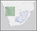
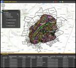
This map service shows distribution maps for those indigenous species that are most commonly being translocated within the wildlife industry. The development of the distribution maps was based on a set of pre-determined principles. This process involved the consultation of an extensive source of scientific references.
|
|
|
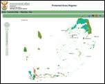
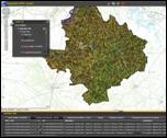
This map service shows the various types of
protected areas and conservation areas in South Africa. Users can generate
reports and statistics. Data is updated quarterly and may be downloaded from here
|
|
|
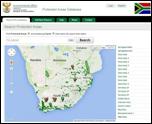
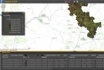
Protected areas collaboration tool This map service allows registered users to improve the database on protected areas. Users can recommend corrections and additions to the database directly on a detailed interactive map.
|
|
|
This map service shows the spatial data related to the Environmental Management Framework for the Vredefort Dome World Heritage Site. Categories include base data, environmental constraints and management zones.
|
|
|
Maqhaka local municipality EMF This map service shows the spatial data related to the Environmental Management Framework for the Moqhaka Local Municipality. Categories include base data, environmental constraints and management zones.
|
|
|
Ngwathe local municipality EMF This map service shows the spatial data related to the Environmental Management Framework for the Ngwathe Local Municipality. Categories include base data, environmental constraints and management zones.
|
|
|
|
|
|
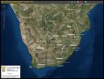
Here you wil find information regarding the Coastal Public Property (CPP) and Coastal Protection Zone (CPZ) to support decision making processes focussing on access to the coast, protecting sensitive coastal ecosystems and protecting people, property and economic activities that may be affected by dynamic coastal processes.
|
|
|
Off road vehicle decision support tool This viewer aims to assist decision makers in the ORV permitting process.
Although we try to keep the information as up to date and accurate as possible, the use of this tool does not eliminate the need for regular site inspections. |
|
|
© 2014 Department of Environmental Affairs |
|